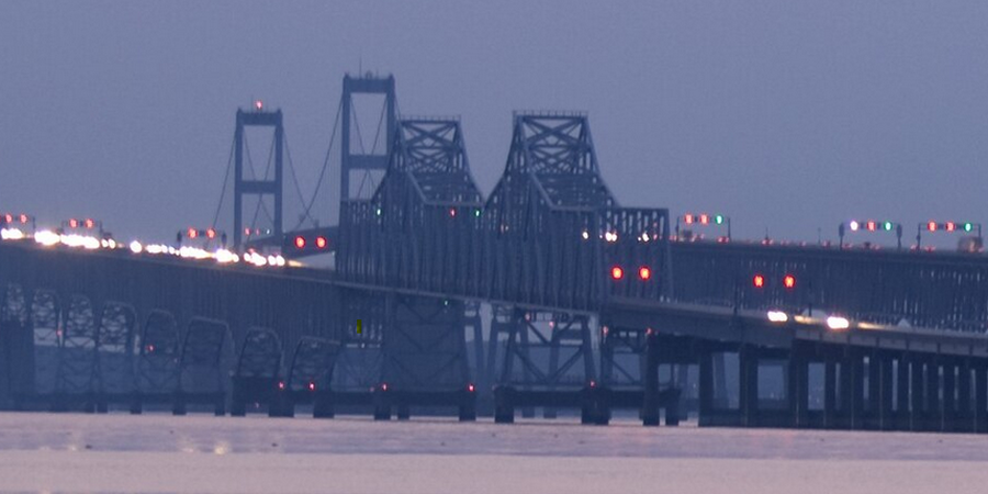
Maryland, a state defined by the Chesapeake Bay, is connected by numerous bridges. Still, one stands out for its impressive scale and vital role: the Governor William Preston Lane Jr. Memorial Bridge, more commonly known as the Chesapeake Bay Bridge.
The Governor William Preston Lane Jr. Memorial Bridge - Maryland's Longest Bridge
This dual-span marvel is not only an iconic Maryland landmark but also holds the title of the longest bridge in the state, connecting the Western and Eastern Shores and facilitating commerce and tourism.
Clearing Up Confusion: Bay Bridge vs. Bridge-Tunnel
It's important to distinguish the Chesapeake Bay Bridge in Maryland from the Chesapeake Bay Bridge-Tunnel. While the Bridge-Tunnel is significantly longer (over 17 miles), it is primarily located in Virginia, connecting Virginia Beach/Norfolk to Virginia's Eastern Shore. The bridge specifically serving Maryland is the Governor William Preston Lane Jr. Memorial Bridge.
A Monumental Feat of Engineering
The Chesapeake Bay Bridge is a significant engineering achievement.
- Location: It spans the Chesapeake Bay, connecting Sandy Point on the Western Shore (near Annapolis) to Kent Island on the Eastern Shore.
- Length: Each of the two parallel spans stretches approximately 4.3 miles, making it the longest bridge structure within the state of Maryland.
- Height: The bridge reaches a height of 186 feet above the water at its highest point, allowing large ships to pass underneath.
Opening the Door to a New Era (1952)
The opening of the original eastbound span in 1952 was a transformative event for Maryland. Before the bridge, travel between the Western and Eastern Shores relied primarily on ferries, a much slower and less reliable process. The bridge dramatically reduced travel times, opening up the Eastern Shore to tourism, commerce, and development, truly ushering in a new era for the region (Source: Maryland Transportation Authority (MDTA), Maryland State Archives). A second, westbound span was opened in 1973 to accommodate increasing traffic.
A Vital Transportation Link
Today, the Chesapeake Bay Bridge remains a crucial transportation artery. It carries US Routes 50 and 301, serving as the primary route for millions of vehicles traveling between the Washington/Baltimore metropolitan areas and the Eastern Shore beaches, including Ocean City.
The Experience
Driving across the Chesapeake Bay Bridge offers stunning panoramic views of the bay. However, due to its height and exposure, the bridge can be subject to wind restrictions and potential closures during inclement weather. For some drivers, the height and length can be an intimidating experience.
 The Governor William Preston Lane Jr. Memorial Bridge, commonly known as the Chesapeake Bay Bridge, is undeniably Maryland's longest bridge structure. Its 4.3-mile spans are not just feats of engineering but vital links that have shaped the state's economy, tourism, and way of life. Connecting the Western and Eastern Shores, this iconic bridge stands as a powerful symbol of Maryland and its relationship with the magnificent Chesapeake Bay.
Sources:
- Maryland Transportation Authority (MDTA)
- Maryland State Archives
- Historical accounts of the Chesapeake Bay Bridge


